Not far off the coast of Newfoundland is a group of islands. The biggest is Miquelon, but most of the population is on the island of St. Pierre, which is also the name of the town. There are many French place names in Canada, and a large percentage of Canadians still use French as their first language. But this island group is not part of Canada. It is legally French soil, the currency is euros and a telephone call from Canada to the islands is the same sky-high price as one to Paris.
It is an anomaly, and there is something compelling about such an anomaly. When the English and the French disputed control of Canada the English won and Canada is part of the Commonwealth. Why the English did not include St. Pierre and Miquelon in their conqueror's booty was not a detail that we came across in the tourist literature. If you know, please enlighten us via a comment.
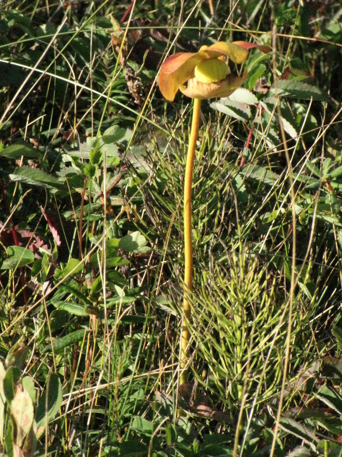
After overdosing on gannets at Cape St Mary's we had to obtain information about ferries. Ferries between Newfoundland and St. Pierre, and ferries between Newfoundland and Nova Scotia.
There are 2 or 3 ferries per day to St. Pierre, but only on a Wednesday is it possible to return on the same day and avoid the very expensive accommodation on French soil. They leave from a small town with the delightful name, Fortune.
Ferries to Nova Scotia depart from Port Aux Basque and Argentia, both routes arriving in Nova Scotia at North Sydney. The Argentia route is longer, 16 hours versus 7, and more expensive, but we were already in Southeast Newfoundland, near Argentia. Driving to Port Aux Basque would require a lot more time and significantly more fuel. It was cheaper for us to take the 16-hour overnight ferry from Argentia. When does it sail? “It's near the end of the season. This week is the last Thursday sailing, then there are boats on the next two Saturdays. That's all.”
It was now Monday afternoon. A day and a bit was ample time to drive to Fortune. We established that if we went to St. Pierre on Wednesday we would have most of Thursday to reach Argentia, since check-in was 3:30pm for the 5:30pm sailing time. That was not difficult if we did not dawdle.
The way to Fortune took us along a tourist highway with a most appropriate name.
Very basic eateries may be found in quite odd places. This one was alongside Highway 210 (the Heritage Run) and still open despite apparently doing no business at all. We decided to treat ourselves to a night without cooking and braved Doreen's all-fried menu. The food was OK, and Doreen was very friendly. When we asked if she knew somewhere nearby where we could park for the night she pointed at the large, empty space beside a neighbouring automotive repair shop. “They won't mind.” And they didn't.
Tuesday's drive to Fortune was very easy. We stopped in Grand Bank because it had a library where, as is usual in Canada, we could access free wi-fi and keep in touch with the world. The librarian also put us on to a very nice cafe for lunch. The route to the cafe took us past the Grand Bank Post Office and some overdue posting of cards and presents was done. And to complete our chores for the day there was a thrift shop in the same building as the library. The Salvation Army was pleased to accept our excess cutlery (Gregory was provided with 17 dinner knives, for example), a coffee-making machine we never used even if we had mains power and a mirror that was constantly slipping off its brackets.
The ferry ticketing office was closed when we arrived in Fortune on Tuesday afternoon. They had a large, empty car park and we were about to be customers so we parked for the night. We bought our tickets as soon as there was evidence of activity on Wednesday morning.
Clutching our tickets, we walked to the port through a drizzly, blustery wind and queued at passport control. This was an international voyage, remember. The customs officers processed us courteously and we went aboard the ferry. It left near enough on time and eased its way out of the harbour.
The bay was initially sheltered, but as the land dropped away the wind made itself felt. The sea wasn't exactly rough, but it was irregular enough to make the boat lurch now and then. The crew were ready with cold, wet paper towels as the motion got to some of the passengers. Rain hammered against the windows. For some, it was not a happy crossing.
In St. Pierre Bill's New Zealand passport got a stamp. Eve's UK one did not. Presumably that will change after Brexit. We had our waterproofs on, and by George we needed them. French rain poured down. St. Pierre has some fame on account of its bakeries. We sought shelter in one. The prices were very high, but the coffee was good and the sandwiches, in lengths of really crusty baguette, were excellent. We were served by a native of Papua New Guinea, who spoke only a modest amount of French but fluent English. Her husband is a British marine biologist doing research in St. Pierre.
The bakery – Les Delices de Josephine.
We had been warned that all shops, except those serving food, closed for 2 hours at lunch time. It was true. We squelched through the town.
The streets of St. Pierre.
The same sort of rubbish boxes as we had seen in Labrador and Newfoundland, but with the addition of a green, recycling bin.
Truly civilised. They have a rugby school!
A splash of colour in this garden.
A retailer's hours of business. We learned later that even the supermarket and petrol station close for lunch.
Even the rubbish box is purple.
The good ship pinball wizard.
Bill had an idea. Maybe the museum is open. We found the way using a map that was so wet it was falling apart. The museum does indeed shun 2-hour lunch breaks. It only closes for 90 minutes. We gave up and sought refuge in the Tourist Information Office. The staff were eating, but at least the doors aren't shut and we were invited to sit down. On another chair was a lady from the ferry. She had been sea-sick on the way over, and was still pasty-faced and feeling ill.
There was a bus tour of the island leaving at 2pm. At least we would be dry inside the bus. We rested our legs until it was time to leave, and braced ourselves against the elements. What's this? The rain had not quite stopped, but it was close. And the wind had dropped.
Probably the best part of the tour was the history and other information that came out in the commentary. The guide was in his final year of high school and, because there is no tertiary education on the island he and his mates will have to go to France or Canada.
Since the cod fishery collapsed the island has to rely on tourism and government support. A very high percentage of the population is employed by the government – do they really need 35 policemen? - at salaries that are 30-40% higher than they would be in France proper because the cost of living is so high. There is enough farming, mainly on Miquelon, to feed the locals, but almost everything else has to be imported.
Most streets in the town are one-way and parking allowed on one side only – if at all.
An unusual garden ornament.
A small sample of the St. Pierre coast.
By the time the tour was over the weather had changed to weak sunshine in a mostly blue sky. We promenaded the shoreline with anther couple from the morning ferry.
Our ferry's sister ship leaves St. Pierre.
The colourful boat sheds along the shingly beach.
Tourists are invited to visit lighthouses all over the Atlantic coast.
By the time our return ferry left port the sea was so flat you could hardly tell you were afloat. Even the very seasick lady was able to return to Fortune without further distress.
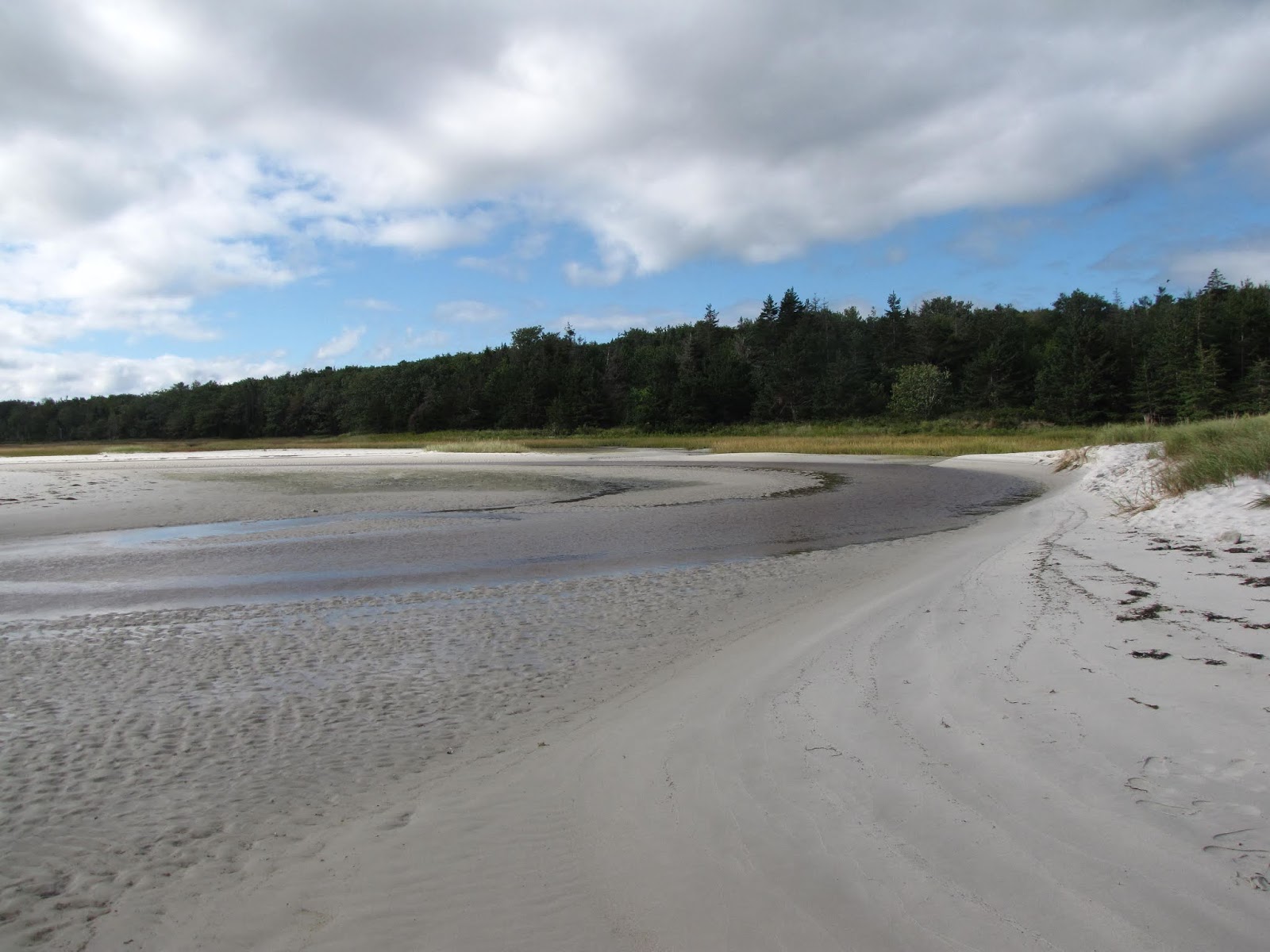
Rather than spend another night in Fortune, which isn't especially attractive, we drove a few kilometers up the coast to a small rest area near Frenchman's Cove. There was a beach and a nice sea view.
Because we had almost all of the following day to get to Argentia, retracing much of our journey from Cape St. Mary's, we decided to indulge in a couple of detours.
We were already on the minor road to Frenchman's Cove and Garnish, so we followed it until it looped back and rejoined the highway.
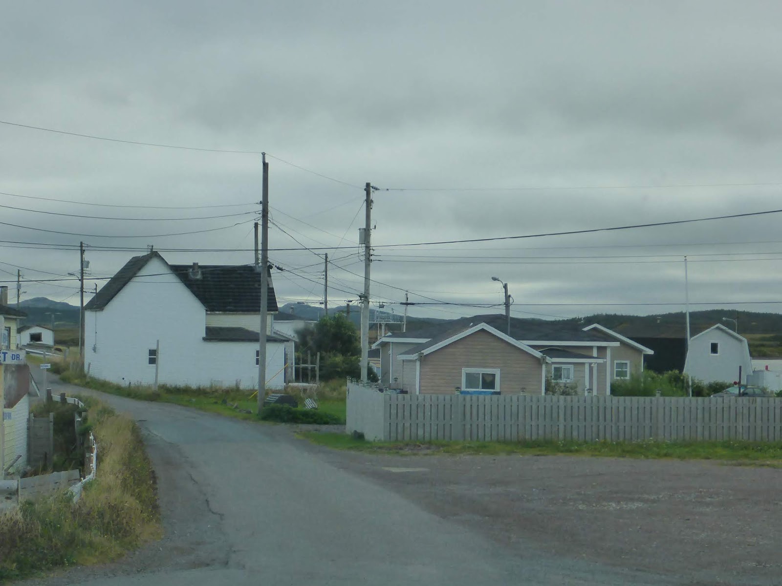
A few houses in Garnish
A grander house in or near Garnish.
We were delighted to see that we were close to a village named Come By Chance.
You are already familiar with Gregory, our motor home. Let us now introduce you to Malcolm-Edgar. He is our Tomtom GPS and an invaluable member of the team, although he has been known to issue totally confusing instructions on rare occasions. How he came by this name is a long story and probably of no interest to anyone but ourselves.
Someone – we have forgotten who – had recommended that we visit Burin. The area is known as the Burin Peninsula, so it is probably an old-established town. We set Malcolm-Edgar to take us there. He did give directions and the paper map confirmed that we were in Burin, but there was no town. There were certainly houses and occasional businesses along the road, but nothing that could be called a town centre.
Never mind the lack of sightseeing, we were very low on gasoline and had been counting on finding fuel in Burin. Gregory has a very large fuel tank, and we have a range of more than 600km (almost 400 miles). Normally we fill when the gauge is at about ⅜ full, but we carry an Ultramar loyalty card, which gives a useful discount at the pump, and it's worth waiting until we find the right brand.
Now we were at the stage of taking any brand at any price. Aha. Malcolm-Edgar knows where gas stations are. Let's ask him to find the nearest one. The wretched machine suggested a station on Highway 1, 140km away. You could almost hear him snigger. We certainly wouldn't make it that far. Hang on – do the residents of Burin drive 140km to get fuel? Of course not. Didn't we see a gas station in Maryville two days ago? We have to go that way anyway. Over the crest of the 2nd hill, even before we got into Maryville, there were TWO gas stations, both advertising the same low price. One of them was an Ultramar station, and on Thursdays they give double discount! Whew.
With the fuel tank full all we had to do was drive to Argentia. We didn't need Malcolm-Edgar, but we had him on anyway. The biggest figure on his screen is the distance to the next instruction – usually the place we leave the road we are currently driving on. Driving North along Highway 210 the next turn was where we joined Highway 1. Occasionally there was a road sign that gave the same information. It was comforting to see that they tallied. Except they didn't always. When the road sign indicated 104km Malcolm-Edgar said 108km. Huh? Let's check again at the next signpost, where Malcolm-Edgar was down to 103 or 104km. The road sign told us 109km. We've got 5km further away???
Who put the signs up in the wrong places, then?
We felt like old hands when we drew up at the ferry terminal. We gave our booking number and were directed to a numbered line, with a short queue of vehicles in it. A smiling young lady approached us. “Do you have any potatoes, other root vegetables or onions on board?” We were used to questions like that at the New Zealand border, but we are not leaving Canada on this voyage. It turns out that there is an organism in Newfoundland soil that the rest of Canada does not want. We were allowed to keep our onion if we cut it up so it could not be planted later, but the potatoes were confiscated.
The route to the ferry then went through a shed, where two more ladies were enthusiastically spraying high pressure water over each vehicle. Gregory is, of course, kept scrupulously clean by a regime of leaving him outside whenever it rains. However, we are sure he enjoyed this shower bath, which included a good blast underneath at all those hard-to-get-at places.
Waiting to be loaded onto a ferry is always tedious. This veteran car attracted a fair bit of attention from drivers wandering around the lines of queuing vehicles.
If it were allowed, we would have self-catered and slept in our motor home, but once you have left your vehicle you are not allowed back on the garage decks until the ship has docked again.
We could have had a private cabin for the overnight journey for a little matter of $200. We have sat up overnight in trains, trains that become buses (see
I dreamed of the Orient Express in August 2015) and aircraft so we kept our money. For we cheapskates there were large, comfortable chairs that reclined like those in an aircraft. There was a little more leg room than Air New Zealand cattle class, but not much. However, there was much more room to walk about, a bar and two eating places on the ship, so overall it was much more pleasant than flying. The more modest of the eateries offered a buffet dinner and breakfast at a reasonable tariff. There was even a shower, but we didn't know that in advance so we didn't have towels with us.
And on the Friday morning we drove off the ferry onto Nova Scotian soil.