We stayed a week with cousin Mike Theilmann and Maren in Ottawa. It would have been easy to stay there indefinitely, they were such good hosts. Every day they organised interesting things to do, and placed tempting foods in front of us. But Bill wanted to see the puffins in Newfoundland before they fly out to sea for the winter, and Eve was keen to see Labrador.
On our last day Mike cooked pancakes for breakfast, and invited his best friend and wife, Mark and Ellie (Sp?), to join us. So it was a very convivial meal that farewelled us from the capital.
It was a Sunday, so the traffic on the highways was not too bad.
Non-Canadians must understand that most folk in Quebec have French ancestry and speak French, which is an official language in Canada. In Ontario all road signs are in both languages. In the Western provinces some road signs are repeated in French. In Quebec they are only in French.
We took a break at the first tourist information office in Quebec. Bill attempted, with fair success, to ask his questions in French. The lady behind the counter followed suit, until Bill had to resort to English. The lady was, of course, completely bilingual, but was impressed that a New Zealander should speak any French at all. She loaded us up with maps and guide books.
Shortly before we arrived in Quebec City we had to drive across a bridge. A big, long, high bridge across the St Lawrence River. Bill is an acrophobe (irrational fear of heights) and drove with white knuckles and fierce concentration on the road ahead. Beyond the bridge there was a lot of switching from one highway to another. Getting into the correct lane was, of course, most important so the density of traffic instantly trebled. The GPS took this opportunity to have several fits, when it suddenly appeared to lose its location and give impossible or ridiculous directions. By the time we reached our destination for the day Bill's stress levels could only be soothed by the application of whisky.
In Quebec City RVs are allowed to stay in the car park for the former city zoo. Other vehicles may park there, too, but RVs are special. Only RVs have to pay. At least there is a dump station for wastewater, and a fresh water supply.
There is also a bus stop nearby, with a frequent service to the interesting old city; the only walled city in North America. We spent a day ambling about the old streets. We took the ferry across the river to Levis and back. We enquired about the open-top bus tour, but it was CAD 42 each, which is ridiculous.

No buses down this old street

Quebec City from the river

Another street in the old town
In a rare extravagance we lunched at a posh restaurant, the Lapin Sauté. In regular French this means Fried Rabbit, but in Quebecois we are told it means Crazy Rabbit. Fried or crazy, it specialises in serving rabbit dishes, and very good they were, too. We gave ourselves a night off from cooking as well, by carrying takeaway galettes on the bus back to the former zoo's car park.

On the Tuesday we discovered a weakness in Quebec's guide books. They tell you what the attractions are, but not how to find them. Our GPS believed it could take us to the Montmorency Falls, but its final instruction aimed us through a locked gate with an 'employees only' sign. We had to follow the road we were on for several kilometres before we could stop safely and discover that we had no way of finding the scenic wonder. At no time did we see a road sign that mentioned the Falls.
OK, we'll console ourselves with driving “The St Lawrence Route” from Baie-Saint-Paul to La Malbaie with its 58km of “breathtaking panoramas overlooking the St Lawrence River”. The main road took us to Baie-Saint-Paul easily enough and there was a road sign to La Malbaie. But we never saw a glimpse of the river. There are two roads from Baie-Saint-Paul to La Malbaie.

The twin of the ferry that took us across the Riviere Saguenay
Finding a nice, quiet campsite for the night retrieved something for the day. It was part of the Route des Baleines (Whale Trail). A path through the woods took us to a viewing platform from which we saw no whales. But it was a nice walk and we discovered lots of fungi.

The whale-watching platform - with no whales in attendance

A forest toadstool

More fungi

The forest
To get to Labrador we had to head North on Quebec's Highway 389. This road has had a bad reputation, so Transports Quebec has published a glossy little brochure (only in French) to reassure the motorist. It divides the road into 7 sections, 5 of which are sealed road. We report what we found:
- 22km to Manic-2, a hydro dam. Sealed, yes, but not well maintained. Very winding and slow.
- 192km to Manic-5, another hydro dam. Sealed and for the most part not too bad a surface. Many trucks.
- 175km to the site of Gagnon, a town that has completely disappeared. Gravel. “Bonne condition.” The brochure is out of date, because the gravel section is now only about 100km. The remainder has recently been sealed. The sealed section, being the newest part of the highway is very good. The gravel section starts with a horribly steep climb from the foot of the Manic-5 dam. Although the rest of it is not as challenging, the surface is variable and we would not describe its condition as “bonne”.
- 88km to Fire Lake. Sealed. The surface is not bad, but the estimated driving time of 1 hour 0 minutes is plain silly.
- 67km to Mont-Wright. Gravel. “Bonne condition.” Generally better than the first gravel section and mercifully shorter.
- 19km to Fermont. Sealed. OK.
- 35km to Labrador City. Sealed. OK, but better on the Labrador side of the provincial border.
The brochure also forgot to mention the rain.
Gasoline suppliers are scarce along the highway. The motel/gas bar/store at Manic 5 made the most of its monopoly, charging almost as much per litre as we had to pay in the Arctic in June.
At Manic-5 the road takes you directly towards the dam, and so close that we imagined that we would end up right inside. In fact it turns aside at the last moment and shortly afterwards has your engine complaining as the vehicle crawls up the steep gravel climb.


The straight-ahead bit of road is not for tourists!

The first stretch of gravel. It quickly became steeper, narrower and much less even.
All that is left of Gagnon is a few hundred metres of road with a central reservation. It is very odd to find a divided highway (English: dual carriageway) in the wilderness. But wilderness it is. Not a stick of Gagnon town remains standing.


Fire Lake and Mont-Wright are both the sites of iron mines. On Fire Lake itself we saw a huge flotilla of ducks (species not determined), but elsewhere along the route we saw no waterfowl of any kind, despite plenty of suitable habitat. Maybe they are already heading South.

An iron mine with some of its detritus in the background

A very large, mysterious iron mining device
Labrador welcomes the motorist with a large sign and 4 flags flying. One of them is the union jack. Our first theory was that this was a snub to the Quebecois, but we learned later that the union flag has been adopted as the provincial flag of Newfoundland and Labrador, which together constitute a single Canadian province. Later, the province's francophones adopted their own flag, which we suspect was due to a lack of affection for Great Britain's standard.
If there was an instruction at the border to advance our watches by an hour, neither of us saw it.
The grandly named Labrador City is a pleasant place, but much smaller than either Whitehorse or Yellowknife, the principal towns of the Yukon and Northwest Territories respectively. (At the time of writing we have not yet visited St. John's, the provincial capital in Newfoundland.) The tourist information office had exhausted its funding for the year and apologetically offered a rack of literature to select from. Luckily there was a lady in the building who was willing to answer our questions and give advice on places to visit. Since she was originally from Newfoundland, all of her recommendations were on the island. A particularly comprehensive booklet was available only in French. The last copy in English had been taken that morning.
Gregory was slightly overdue for an oil change. In case there were any problems we preferred to have them explained by a mechanic with English as a first language. Our French is not up to the technicalities of the possible causes of dirty oil. The local Ford dealer was willing to do the job. “Come back at 4 o'clock.” That conveniently left us time to do some shopping. But just as we were leaving the supermarket we noticed that Bill's tablet was showing the time as 4:50. Labrador is an hour ahead of Quebec! Our apologies to the service manager were waved away. “It doesn't matter. We'll do it now.” And there were no problems.
At Labrador Mall we had not only obtained goods, but permission to camp for the night. “Please park near the soccer fields or by the fence. You can plug in for your electricity if you like.” Yes, it really was a free powered site. We didn't take unfair advantage of the offer, but it was nice to give the batteries a night off.
For the sake of non-Canadians we should explain that the winters can be extremely cold here, and many vehicles in the higher latitudes have a power lead dangling from the front. These are to operate a heater that prevents the engine from freezing. In Yellowknife most parking places have a power point. At Labrador Mall they are only along the fence, and are mostly reserved for employees of mall businesses. That makes sense. Their cars will be out in the cold all day, while shoppers' vehicles will only have to tough it out for an hour or two.
At the end of August it wasn't freezing in Labrador City, but it was certainly not tropical. Eve was chilly enough to try switching on the heater. We'd tried a couple of times before and it hadn't worked, but that night it did. And it didn't use much gas, either.
It is 1,135 km from Labrador City to Blanc Sablon, where a ferry takes the explorer to Newfoundland. So we filled up with gasoline and propane (LPG), borrowed a government satellite phone against emergencies, and set off.
The first sector is the 533 km from Labrador City to Happy Valley-Goose Bay, the largest settlement in central Labrador. From the literature we had been able to gather there was only one recommended point of interest along the way. Surely there must be more to see than that?
Perhaps it is because the supply of lakes and scenery generally is so lavish in Labrador that the tourist authority doesn't bother to mention it. Especially in the first half of the journey, there were lakes of all shapes and sizes. All of them were attractive, but there was not a single rest area where the weary motorist could sip a cup of tea and contemplate the beauty. Nor, oddly, did there seem to be places for fishermen to park their cars and launch their boats. This is very strange because Labrador is famous for the quality of its angling. There arefolk with access to the water, because some of the lakes have private properties on the shore. But not many. We concluded that those planning to fish their way around Canada would have to enquire with the vendors of angling materials to obtain information about actually reaching the water.
Waterfowl were there none. Not a duck, goose, grebe or coot was to be seen on all those acres of lake. A few gulls on the coast were the closest Labrador could get.
The highway to Happy Valley-Goose Bay, Highway 500, has only recently been completely paved, which may explain the lack of rest areas. In fact, when we found one about 20km before Churchill Falls we were so surprised we stopped there. It was large and smoothly tarred, with a gravelled area that led down towards the river. Intending to admire the Churchill River we drove downhill. It was too far back from the river bank to see anything worthwhile, but what is this? A sign. It says “Bowdoin Canyon Nature Trail”.
In the Trans Labrador Highway Guide there are four “MUST SEES” along Highway 500, and Bowdoin Canyon is #1. Its location is given in the guide as “just outside of Churchill Falls”, which is not how we'd describe the 23km that Google Maps calculates is the distance from the rest area to the settlement of Churchill Falls. There is NO mention on the highway of Bowdoin Canyon, even though it is apparently the most desirable sight in 533km.
We set off along the trail, of course. It took us through forest and every now and then to a roped-off spot where the trail overlooked the river. We could see a canyon from the 2nd or 3rd lookout, and it wasn't that impressive. But it was by now clear that the river disappeared over a lip and there must be quite a sizeable waterfall over the edge. It took us nearly half an hour to get to a point where we could see the cascade, and it was worth seeing. The trail continued, and may have provided an even better view further on.

A picturesque lake along the trail

Labradorean flowers

Our best view of the falls. The picture doesn't show how impressive they really are
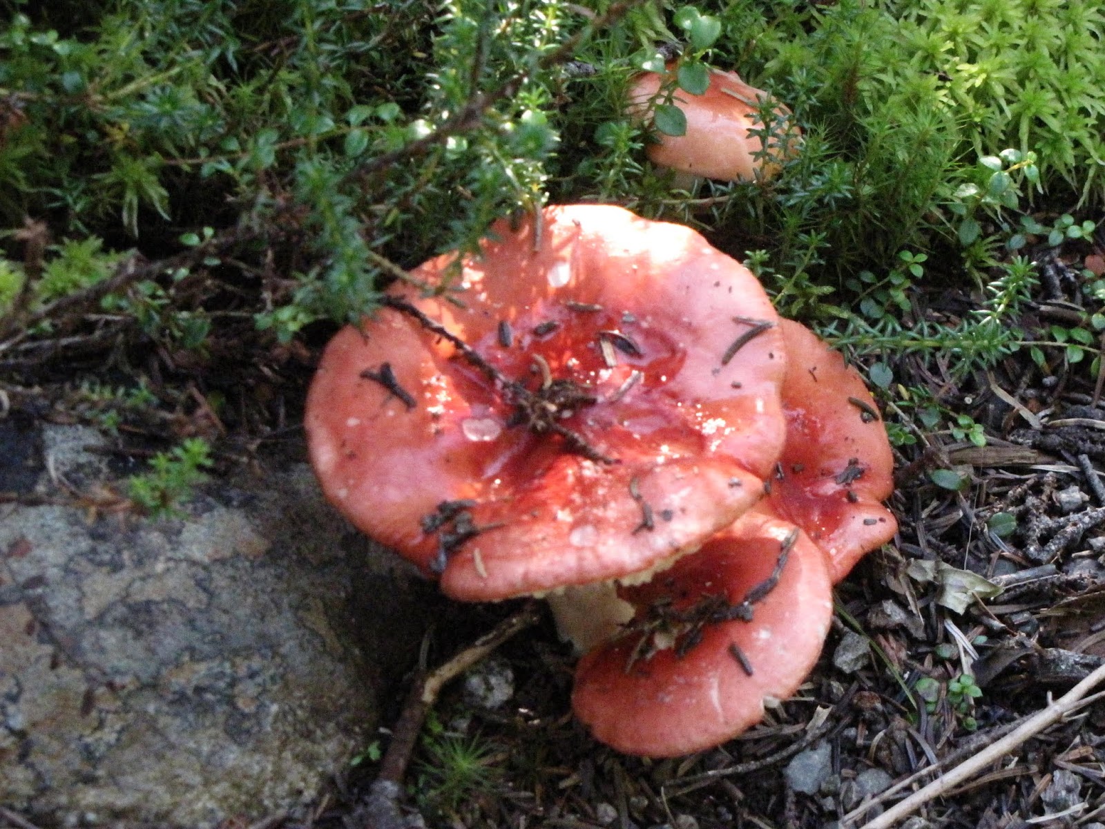
More fungi!
Churchill Falls is the only settlement between Labrador City and Happy Valley-Goose Bay. Gregory has a range of at least 600km on a full fuel tank, but we stopped to top up anyway. The town looks like a very large work camp, and that is precisely what it is. All but 3 properties are owned by the power company that runs the hydro power station, which is the town's only industry. #2 of the guide's must sees is a tour of the underground power plant. No thank you. Despite the gas station's extremely powerful position as the only supplier for 500km, the price was only a few cents more than we'd paid in Labrador City.
#3 must see was a sudden, marked change in the vegetation. We did see it, and it was indeed notable. (#4 was Mud Lake, a historic village accessible only by boat. We think that over-stretches “along Highway 500” and we didn't look for the ferry.)
The Trans Labrador Highway used to have a reputation as a horrible drive over ghastly roads. Hwy 500 is now a very easy and pleasant journey. Just set cruise control to 80kph (we think the road could easily permit a higher speed limit), sit back and steer.

A typical stretch of Highway 500
We arrived in Happy Valley-Goose Bay mid-morning on a Saturday. The Visitor Information Centre in Happy Valley is closed at weekends, and would also be closed on the coming Monday as it was a public holiday. Next we tried the library for Internet access. Closed – with no information about when it would be open. Any wi-fi was apparently switched off. How about the laundromat? Open! Hooray, we can continue to wear clean clothes.
On the advice of the guide we made a side-trip to North West River, which is in fact a small town. The interpretation centre provided interesting information about the various first nations groups in the area. The Metis are the offspring of Europeans who settled and married native women. They are accorded the same recognition as the other nations.
After we went round the exhibits, the lady at the desk offered us a lesson in berry picking. Around the car park she showed us wild blueberries, redberries (not yet ripe), crackerberries and a tiny white berry that is also edible but requires a heap of effort to collect even a handful. She invited us to help ourselves to whatever we could find in the surrounding woods. We managed a small bowlful of blueberries and a few crackerberries to garnish our morning cereal.
The Wiki Camps app promised us a campsite off the road between North West River and Goose Bay. It was very difficult to find since there are no signs and Google Maps has the access road in the wrong place. It directed us to drive over a ditch and into a stand of trees! However, we did eventually find the campsite at Gosling Lake's beach. The long weekend, which marked the end of the school holidays, had brought out many local families, well supplied with wood for their campfires. There were even a few fireworks. The prime sites at the back of the beach have power points and, except for Regatta weekend, there is no charge for the use of the park.

The less favoured sites in a huge open rectangular space. That's us on the left.

The water off the beach was very shallow and apparently safe for swimming.
It would have been an extra adventure to take a ride on the supply boat that visits the settlements along the North Labrador Coast. There are no roads to Natuashish and Nain, but the round trip takes 5 days and we are already at risk of arriving too late to see the puffins in Newfoundland.
Highway 510, which connects to the Atlantic coast of Labrador, is not as appealing as Hwy 500. It is sealed for only part of its length and, shortly after you set off you are warned that the next gasoline is 392km away. Since you must have driven at least 11km from a gas station to reach the start of the highway that makes more than 400km with no access to fuel. That even beats anything we encountered in Australia. There are no must sees on this highway until you get to the historic places on the Atlantic coast.
The sealed section at the Western end of the highway is OK, but the gravel road is very variable. The worst sections are badly potholed. There are many fewer lakes. However, there was a pleasant surprise when the gravel section ended earlier than shown on the map. The worthy Labradoreans are even now extending the seal westwards from Port Hope Simpson.

Much of Highway 510 looks like this
We had to advance our watches another half hour. At least this was clearly notified by a large sign alongside the highway.
The trip to Battle Harbour is a several hours excursion with a distressingly high price tag, so we declined to go. Instead we read the many information boards at Mary's Harbour. I wondered what soldierly heroics had given the historic harbour its name, but it turns out it is a corruption of its earlier French name, Bateau Havre.

All aboard for Battle Harbour. The vessel looks nice but costs too much.
We'd been really looking forward to the drive down the Atlantic coast, but we saw very little. The mist came down and at times it was so thick and the visibility so bad we had to crawl along. At least we didn't hit anything, and it thinned enough to find the place where we returned our borrowed 'phone.

"Cafe in the Mist" It was just the day to have hot soup for lunch.
The ferry to Newfoundland leaves from Blanc Sablon, which is actually in Quebec in a time zone 90 minutes behind this part of Labrador. But the ferry is run by a Newfoundland operator and it uses only Newfoundland time. So we left our watches as they were. We established when we had to report to the ferry terminal on the morrow and repaired to a delightful little campground, Parc Goodchild. Thank you Blanc Sablon municipality for a first-class, complimentary facility.

Plastic chairs and a fire pit made for a pleasant break.
No comments:
Post a Comment